


Did you know that over 1 million species are at risk of disappearing forever? Habitat loss and poaching are the main reasons. Satellite surveillance for wildlife is a vital tool to track endangered species from space in real-time. This method combines high-quality satellite pictures with GPS collar data, allowing for non-invasive wildlife monitoring. Through satellite monitoring, experts can watch animal movements, behaviors, and how populations change in ways never possible before. For saving wildlife, real-time tracking isn’t just a new idea—it’s absolutely necessary.
Key Takeaways
- Over 1 million species face extinction due to various factors.
- Satellite surveillance for wildlife allows tracking endangered species from space.
- High-resolution imagery and GPS data enhance wildlife monitoring.
- Real-time wildlife tracking offers critical insights for conservation.
- Non-invasive methods promote better understanding of animal behaviors.
- Enhanced data collection aids in population dynamics analysis.
Understanding Satellite Surveillance for Wildlife Conservation
Satellite surveillance uses high-tech remote sensing to gather important conservation data. It includes satellite images, machine learning, and geospatial methods. These tools help track animal populations, check habitat changes, and monitor movements over large areas.
This tech helps us better understand how ecosystems work. With it, we can plan and act quickly to protect endangered animals. This is key in a world where humans and climate change threaten nature.
The need for satellite surveillance is growing as environmental problems get worse. It offers a way to create specific solutions. These solutions help wild animals and their homes thrive.
The Importance of Tracking Endangered Species
The drop in wildlife numbers is a big worry for the earth’s diversity and stability. Understanding the dangers these creatures face is crucial for saving them. With humans taking over more space, we must find new ways to keep an eye on endangered animals to keep them safe.
Current Threats to Wildlife Populations
Endangered animals face many problems, such as:
- Habitat loss from cities growing and farming
- Poaching for the illegal animal trade
- Climate change messing with migration and living areas
We need to know about these dangers and take action. We can use new tech to help protect animals.
The Role of Technology in Conservation Efforts
Technology is key in saving endangered species. It lets us watch animals closely with satellites, giving us updates in real time. Tech like AI helps experts study animal movement and figure out which areas need protection.
- Look into how groups of animals move and act
- Find important places that must be saved
- Quickly step in to stop poaching and save homes
Using tech helps us do a better job of keeping track of endangered creatures. This makes sure our efforts to protect them really work.

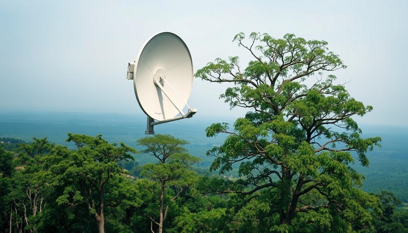
Advancements in Satellite Technology for Wildlife Monitoring
The use of satellite technology has changed how conservationists work. They now use high-resolution satellite imagery to see details like never before. This helps them track animals and see how their homes change. Such progress is key to help protect those animals that are at risk of disappearing.
High-Resolution Satellite Imagery
High-resolution satellite imagery is now a must-have for watching wildlife. It comes from systems like WorldView and Sentinel satellites. These systems let us see animal groups and where they live very clearly. This means experts can notice even small changes in the environment. They can figure out where animals go and check if their homes are healthy.
Geographic Information Systems (GIS) and their Impact
Geographic Information Systems, or GIS, are super important. They help make sense of all the data from high-resolution satellite images. By putting this data together, GIS allows for a deep look at where animals live. This helps us see patterns in where animals are and plan how to keep them safe. The teamwork of GIS and satellite images is essential for keeping an eye on animal numbers and their living areas.
Satellite Surveillance for Wildlife, Tracking Endangered Species
Satellite tracking is changing how we protect wildlife. It lets us see animal movements in real time, even in remote areas. Scientists use this data to track animals, find important habitats, and see how nature changes affect them.
With this tech, we’re better at protecting animals before it’s too late. It helps us know where to focus conservation efforts. These actions help save endangered animals all over the world. This supports our planet’s diversity and keeps ecosystems stable for the future.

Real-Time Wildlife Tracking Capabilities
Wildlife tracking has changed a lot because of tech improvements. Now, with GPS and satellite help, experts can watch animals closely and accurately. They get quick updates, which helps in making better plans to protect animals.
GPS Collar Integration with Satellite Data
GPS collars are key in following wildlife. They give important info on where animals are and what they do. When this data mixes with satellite info, it shows exact movements over big areas. This helps experts act fast to protect endangered animals.
Machine Learning in Wildlife Monitoring
Machine learning is now a big part of saving animals. It looks at lots of data from GPS collars and satellites. Then, it finds patterns in how animals move and live. This can show future problems, letting us help at-risk animals earlier. This blend of tech makes saving animals more effective than ever.
Space Technology and Biodiversity Protection
Using space technology for conservation helps protect our wildlife in new ways. Many examples show how satellite data can make saving animals easier and better.
Case Studies of Successful Implementations
One key use is satellite images to watch endangered animals in far places. This method lets scientists keep an eye on animal numbers without bothering them. It helps keep their homes safe.
- In Kenya, satellites are key for watching endangered elephants. By studying satellite data, conservationists track elephants more easily, even in hard-to-reach areas.
- In Brazil, drones and satellites work together for a full view of the rainforest. This helps fight against illegal tree cutting and saves the forest.
- In Australia, these technologies also help monitor sea animals. This ensures the safety of important underwater homes for many species.
These examples show how space tech is a big win for saving our planet’s biodiversity. Thanks to satellites, conservationists can use smart, cost-saving ways to protect nature.
Combatting Poaching with Satellite Anti-Poaching Tech
Saving wildlife is tough, especially where poaching hurts endangered animals. Satellite tech is changing the game, helping to spot and track wildlife crimes. It provides real-time data and clear images. This helps law enforcement watch over areas better and act fast against illegal acts.
Identifying Patterns of Wildlife Crime
To fight poaching well, knowing where and when it happens is key. Satellite tech helps by analyzing past data. This shows trends and helps focus efforts where they’re needed most.
Using Satellite Data in Law Enforcement Efforts
Satellite data has changed how we protect wildlife. It lets agencies keep an eye on protected areas and spot suspicious actions quickly. Getting this info fast means law enforcement can act swiftly. Adding satellite tech has strengthened efforts to save wildlife and endangered species.
The Future of Conservation Technology in 2024
As 2024 nears, we’re seeing big changes in how we protect wildlife. New tech will make it easier to watch over and save endangered animals. This includes better satellite sensors and smart AI that will make saving wildlife more efficient.
Emerging Technologies in Wildlife Surveillance
Next year, we expect cool innovations like sharp imaging and drones working with satellites. These tools will help us keep a closer eye on animals and their homes. Plus, getting info in real-time will help us make quick decisions to protect them better.
Predictive Analytics for Conservation Planning
Predictive analytics will become a key tool in saving wildlife. It uses past data and forecasts to spot possible dangers. This helps conservationists use their resources wisely and plan better for the future. By being proactive, we can protect animals from threats before they happen.

Global Wildlife Protection Efforts and Collaboration
Working together is key in protecting the world’s wildlife. International groups help unite these efforts. They work to reduce threats to animals and keep our ecosystems diverse. Local communities play a big part too. They help make the work more effective and teach people how to care for the environment.
The Role of International Organizations
Groups like the World Wildlife Fund (WWF) and Conservation International lead the way. They bring people together to save animals across the globe. With their help, we fund, learn, and fight for wildlife. These organizations bring together governments, other groups, and businesses. They make plans to protect animals everywhere.
Community Involvement in Conservation Initiatives
Getting local people involved is crucial for saving wildlife. It raises awareness and helps communities care for their environment. They learn about their local animals and how to protect them. This local support makes conservation work better and helps animals survive longer.
Conclusion
Using satellites to watch over wildlife is a big leap for protecting animals at risk. This new tech lets conservationists see what’s happening in real-time. It’s a game-changer for making smart choices to save animals.
As this tech gets better, so will our ways of keeping an eye on endangered animals. We’ll get even better at tracking them and spotting dangers early. This progress means we can protect animals more effectively.
The future of saving these species lies in the ongoing advancements in satellite tech. By focusing on new tech for wildlife conservation, we stay hopeful. We believe we can make a big difference in saving animals from extinction.
FAQ
What is satellite surveillance for wildlife conservation?
Satellite surveillance uses cutting-edge technology to watch over endangered animals. It combines high-res images and GPS to observe them closely. Scientists can study animal habits, numbers, and how their homes change safely.
How does satellite technology help in tracking endangered species?
It mixes GPS data from animal collars with pictures from space to track wildlife. This lets scientists see animal actions right away. They can then step in quickly to help save them.
What benefits does high-resolution satellite imagery offer?
This kind of imagery brings clearer, better-quality data for keeping an eye on animals. It shows migrations and home changes in great detail. This helps in caring for wildlife better.
How is machine learning applied in wildlife monitoring?
Machine learning studies big amounts of data from satellites. It gets better at guessing how animals will act or react. Conservationists get useful info fast to make smart choices.
How does satellite surveillance contribute to combatting poaching?
It spots patterns of wildlife crimes and watches for illegal acts as they happen. High-quality images and data help law enforcement watch protected areas better. Quick responses mean less poaching.
What emerging technologies are expected to enhance wildlife surveillance in 2024?
Newer techs like better satellite sensors, smarter AI, and deeper data analysis will improve surveillance. These will help use resources wisely and protect animals better.
Why is global collaboration important for wildlife protection?
Saving wildlife worldwide needs teamwork. This includes international groups, governments, and locals. When local people join in, it helps these efforts last and succeed.
What role do organizations like WWF and Conservation International play in conservation?
Groups like WWF and Conservation International lead global efforts to save nature. They use satellite tech and data, bringing everyone together for a united approach to saving our planet’s life.